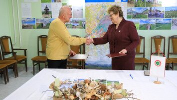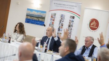
After the visit from our colleagues from the Hateg Country Geopark at the beginning of August, two colleagues from the working organisation of the Bükk-Region Geopark could participate in a two-day study trip to the Hateg Country UNESCO Global Geopark.
In Hungary - Gallery
After half a day of travel, we were received with a warm welcome as, together with a colleague from the geopark and the German Kulturweit volunteers from the two geoparks, we could try out some local specialities in a lovely restaurant.
We started the next day at the main office of the geopark, called the House of the Geopark, where we could meet the colleagues working for the Hateg Country Geopark. After the (online) welcome speech of the director of the geopark, Alexandru Andrășanu, we had the opportunity to listen to informational presentations about the geopark and the volunteers\' experiences. Then Clara and Klara, the two present Kulturweit volunteers, guided us through the exhibits showing off the geopark and the famous dinosaurs and dragons of Hateg Country. After that, we met the representative of Coop Hategana, a local producer cooperative producing traditional, hand-made clothing and the employees of Casa Canda, an experimental rural tourism guesthouse. In the afternoon, we discovered the symphony of rocks, water, wood and rural life on "The Music of Nature" thematic trail. After the concert of nature, we met the ecological education specialist of the neighbouring Retezat National Park, who introduced the protected area with beautiful pictures and videos to us and duly answered all our questions. Thank you, Lady Lucia! After a quick stop at the Malaiesti Fortress, a local volunteer of the geopark guided us through a tour of the Densus Church, which according to researchers, was already operational before the 13th century. The church is also a unique geotope, as it consists of a diverse array of building stones. You can find stones with prehistoric imprints on the wall, Roman funeral and Dacian building stones, held together in a puzzle-like shape as the Dacians didn\'t use adhesives. Crowning the day, we had the opportunity to meet Alina, the representative of the Drag de Hateg Association, who runs the House of Volcanoes and is also the creator of Andi Andesite and the original Andi, made of Andesite.
The next day we participated in an exciting event. The two-day DinoCamp co-organised Hateg Country Geopark, the Women of Santamaria Orlea Association and the Romanian Brickenburg Association provide a playful opportunity for the local youth to learn about geology and dinosaurs. At the same time, we had the chance to meet part of the enthusiastic geopark volunteers. Together with the representative of the Women of Santamaria Orlea Association, Silvia, we visited the House of Traditions. With the guidance of Adina (college of the geopark and also one of our lovely hosts), we saw the House of the Dwarf Dinosaurs.
During the study tour, we gained much experience from a geopark operating for decades. Their work with local volunteers and organisations is outstanding, and we hope that by adopting their good practices and taking their advice, we can improve our own geopark.
Hațeg - Gallery
We want to thank the team and partners of the Hateg Country Geopark for their warm welcome, with special thanks to the UNESCO Kulturweit volunteers, without whom this exchange programme would not have been possible! We hope to build close cooperation between our geoparks in the future! I already know where I will go on holiday next year!


